Vilnohirsk
Ukraine's second titanium hub, further east and closer to the front line.
- Material
- Titanium
- Stage
- Mine
- Place
- Dnipropetrovsk Oblast, Ukraine
- Operator
- UMCC (NEQSOL Holding since June 2025)
- Coordinates
- 48.48° N, 34.03° E (approximate)
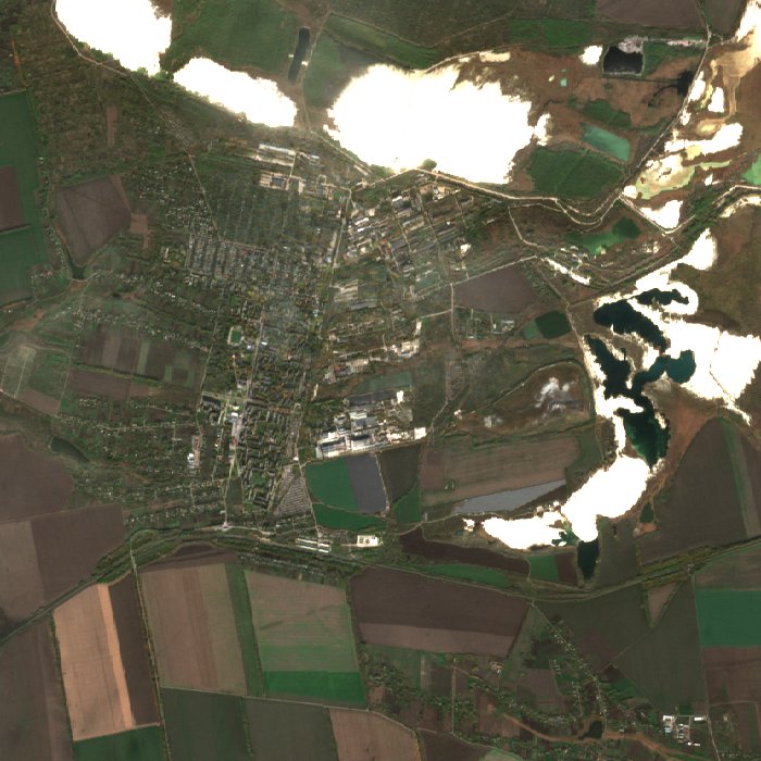

Seen from orbit
- Heat
- 0 of the last 7 days and 0 of the last 30 had furnace-hot pixels within 6 km (NASA FIRMS).
- Armed conflict
- 94 events within 100 km so far this year, the latest on 30 Sep 2026 (UCDP).
- Radar
- Latest Sentinel-1 radar picture: 28 Oct 2026.
Signals show activity, not output. They are measured automatically and can be affected by weather, terrain and fires.
Facts
- Together with Irshansk, the centre of Ukraine's titanium ore industry